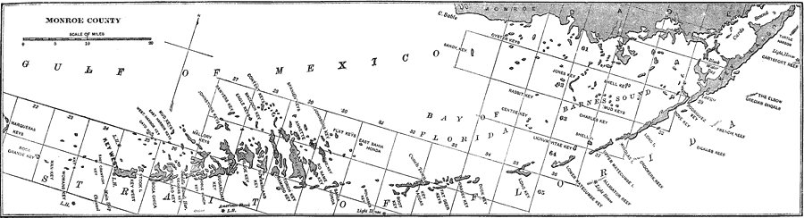
Description: A map of Monroe County showing the county seat (Key West), cities, towns, rivers, and islands current to1890.
Place Names: Monroe, Key West, Key Largo, Big Pine, Cape Sable, Sugarloaf Key, Shell Key
ISO Topic Categories: oceans, inlandWaters, boundaries
Keywords: Monroe County, physical, political, physical features, county borders, oceans, inlandWaters, boundaries, Unknown,1890
Source: Charles Ledyard Norton, A Handbook of Florida (New York, NY: Longmans, Green, & Co., 1890) 64
Map Credit: Courtesy the private collection of Roy Winkelman |
|