mapsExploring Florida
 FL Maps > Region > 1920-1949 > Sponging Grounds of the Coast of Florida, 1922
Site Map 

Sponging Grounds of the Coast of Florida, 1922

Sponging Grounds of the Coast of Florida


Title: Sponging Grounds of the Coast of Florida
Projection: Unknown
Source Bounding Coordinates:
W: E: N: S:

Main Map Page
Zoomify Version
B/W PDF Version
Puzzles: Easy, Medium, Hard
Google Earth
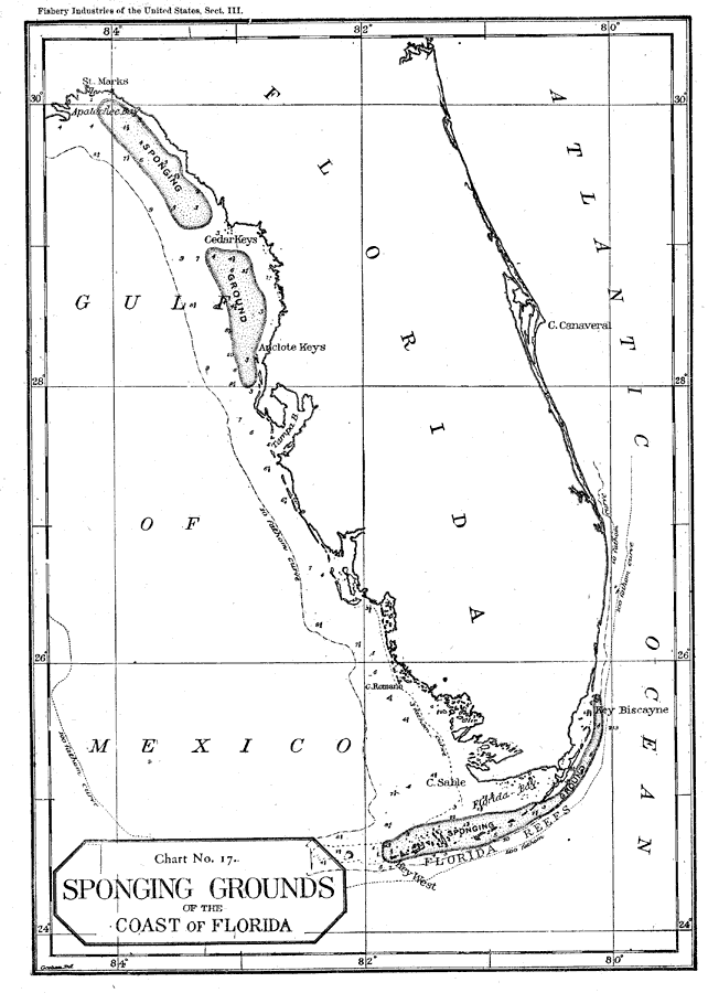
Description: This map shows the location of sponging grounds off the coast of Florida.
Place Names: 1920-1949, Key West, St. Marks, Cedar Key, Tampa Bay, Cape Sable, Key Biscayne
ISO Topic Categories: biota, oceans
Keywords: Sponging Grounds of the Coast of Florida, physical, hydrological, sponging grounds, physical features, biota, oceans, Unknown,1922
Source: United States Bureau of Fisheries, Fishery Industries of the United States (, : , 1922)
Map Credit: Courtesy the private collection of Roy Winkelman
SearchLicensePDF HelpGIS Help Google Earth Help Zoomify Help

 FL Maps > Region > 1920-1949 > Sponging Grounds of the Coast of Florida, 1922
Site Map