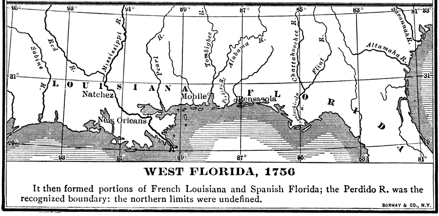
Description: "It [West Florida] then formed portions of French Louisiana and Spanish Florida; the Perdido R. was the recognized boundary: the northern limits were undefined." — Fox, 1920
Place Names: 1740-1759, Pensacola, Mobile, New Orleans, Natchez
ISO Topic Categories: boundaries, inlandWaters, oceans
Keywords: West Florida, physical, political, physical features, major political subdivisions, boundaries, inlandWaters, oceans, Unknown,1756
Source: Dixon Ryan Fox, Harper's Atlas of American History (New York, NY: Harper and Brothers, 1920) 26
Map Credit: Courtesy the private collection of Roy Winkelman. |
|