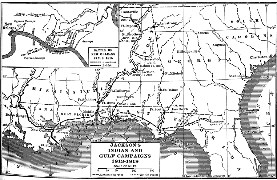
Description: A map of Andrew Jackson’s campaign to fight the British in New Orleans and his Indian removal campaign in East Florida between 1813 and 1818. An inset map shows the Battle of New Orleans. The map also shows the routes taken by the British to and from the Battle of New Orleans.
Place Names: 1800-1819, Pensacola, Fort Scott, Negro Fort, Fort Gadsden, Saint Marks, Suwannee, Fernandina, Saint Augustine
ISO Topic Categories: boundaries, inlandWaters, oceans, society
Keywords: Jackson's Indian and Gulf Campaigns, physical, political, historical, physical features, major political subdivisions, other military, boundaries, inlandWaters, oceans, society, Unknown,1813 to 1818
Source: Dixon Ryan Fox, Harper's Atlas of American History (New York, NY: Harper and Brothers, 1920) 31
Map Credit: Courtesy the private collection of Roy Winkelman. |
|