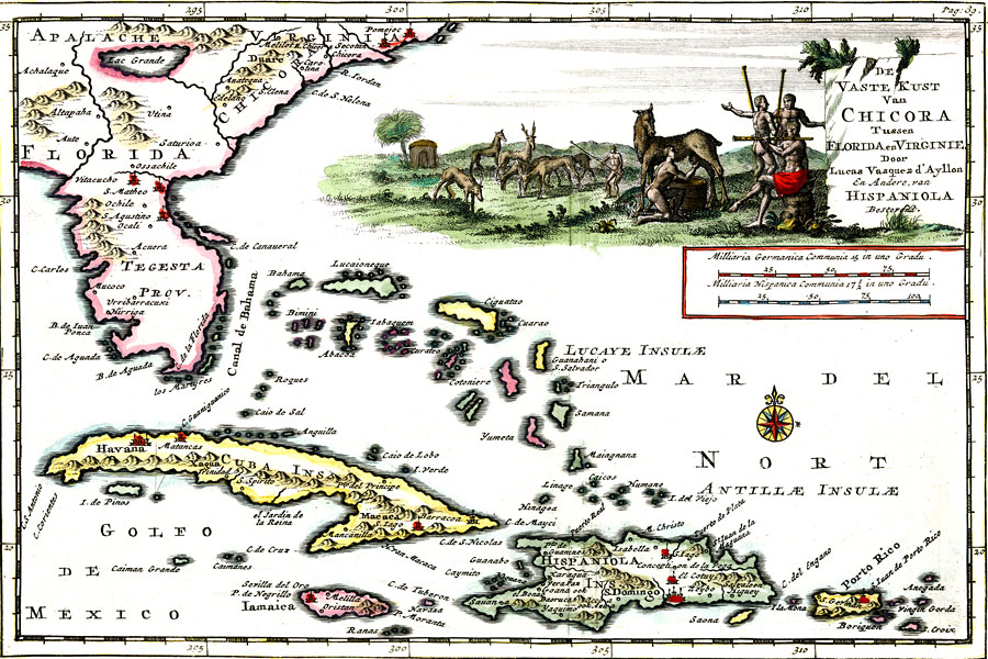
Description: Digitization provided by the USF Libraries Digitization Center. Rare Maps Collection: Notes from USF Library:Relief shown pictorially/ In Dutch and French. Scale measurement derived from scale bar (1 in. = 50 Milliaria Germanica communia)./ "Terre ferme de Chicora entre la Floride et la Virginie, descrite par Lucas Vasquez d'Ayllon sur les voyages de Don Alonso d'Ojeda, et d'autres qui y ont narige de l'Ile Hispaniola presentement mise en lumiere pare Pierre vander Aa, a Liede, avec privelege"--Printed below lower neatline, within border. Title in illustrative cartouche. Relief shown pictorially.Scale [ca. 1:13,844,160]; (E 2910--E 3130/N 350--N 180)Measurements.Dimensions: 14 x 22 cm., in cover 19 x 28 cm.
Place Names: 1700-1719, San Augustino,San Matheo, Ochile, Ocali, Mucoco
ISO Topic Categories: boundaries, inlandWaters, oceans
Keywords: De vaste kust van Chicora tussen Florida en Virginie, physical, political, historical, physical features, topographical, major political subdivisions, boundaries, inlandWaters, oceans, Unknown,1706
Source: Lucas Vazquez de Ayllon and Alonso de Ojeda, Atlas nouveau et curieux de plus celebres itineraires : Vol. 2, no. 33. (Leyden, : Pieter Vander Aa, 1706)
Map Credit: Courtesy of the Special Collections Department, University of South Florida. |
|