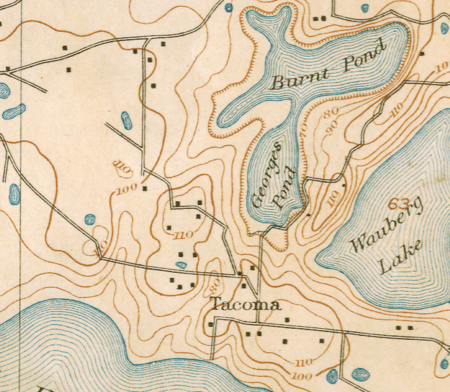
Description: This is a map of Tacoma in Alachua County, Florida. It shows elevation, roads, inland waters and locations of dwellings. Detail view from a United States Geological Survey map. Key to USGS maps.
Place Names: Alachua, Tacoma, Wauberg Lake, Burnt Pond, Georges Pond
ISO Topic Categories: elevation, inlandWaters, location, transportation
Keywords: Tacoma, physical, transportation, topographical, roads, elevation, inlandWaters, location, transportation, Unknown,1894
Source: Henry Gannett, Gilbert Thompson, Chas Yeates, Hersey Munroe, (, : , 1890)
Map Credit: Courtesy of the Pennsylvania State University Library's Map Library |
|