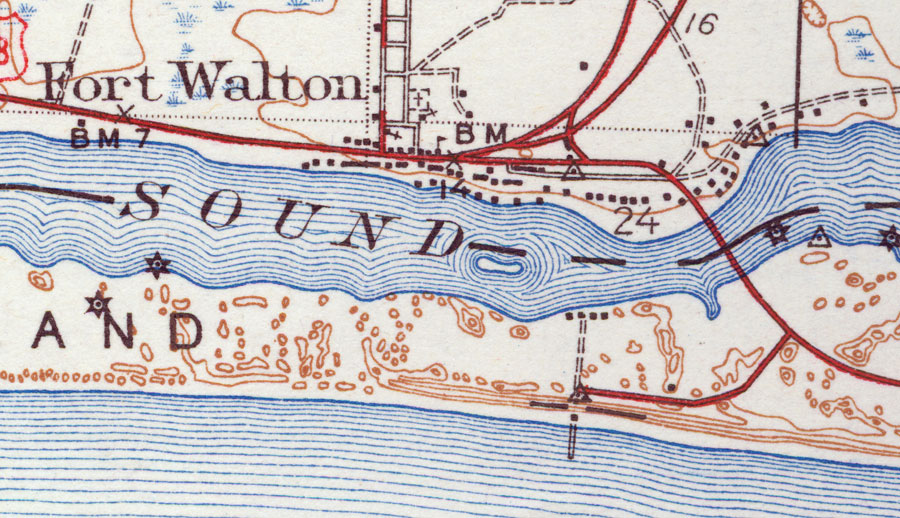
Description: This is a map of Fort Walton in Okaloosa County, Florida courtesy of the Pennsylvania State University map library. It shows elevation, roads, inland waters, Gulf of Mexico and locations of dwellings, churches, a school, a cemetery and a lighthouse or beacon. Detail view from a United States Geological Survey map. Key to USGS maps.
Place Names: Okaloosa, Fort Walton Beach, Fort Walton, Gulf of Mexico
ISO Topic Categories: elevation, location, transportation, inlandWaters, oceans
Keywords: Fort Walton, physical, transportation, topographical, roads, elevation, location, transportation, inlandWaters, oceans, Unknown,1938
Source: , (Reston, VA: United States Geological Survey, 1938)
Map Credit: Courtesy of the Pennsylvania State University Library's Map Library |
|