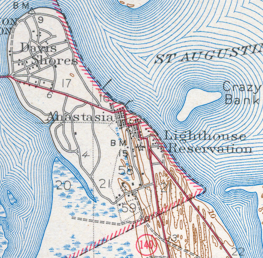
Description: This is a map of Anastasia in St. Johns County, Florida. It shows elevation, roads, inland waters and locations of dwellings. Detail view from a United States Geological Survey map. Key to USGS maps.
Place Names: St. Johns, Anastasia Island, Anastasia, St. Augustine Inlet, Crazy Bank, Lighthouse Reservation, Davis shores,
ISO Topic Categories: elevation, location, transportation, inlandWaters
Keywords: Anastasia, physical, transportation, topographical, roads, elevation, location, transportation, inlandWaters, Unknown,1943
Source:
Map Credit: Courtesy of the Pennsylvania State University Library's Map Library |
|