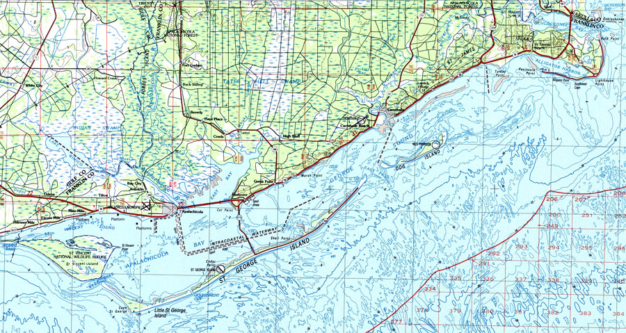
Description: A National Oceanic and Atmospheric Administration topographic-bathymetric map of Apalachicola, Florida current to1988. This map shows contours and elevation in meters, highways, roads and other manmade structures, woodland areas, toponyms, and bathymetric contours. The map scale is 1:100,000. North American Datum 1927 is used. Key to NOAA maps.
Place Names: Franklin, Saint Vincent Island, Saint Teresa, Saint George Sound, Ocklocknee, Marchant, Macintyre, Lanark, Hays, Fort Gadsden, Eastpoint, Dog Island, Carrabelle, Cape Saint George, Bucks Still, Brick Yard, Beverly, Bald Point, Apalachicola, Alligator Point
ISO Topic Categories:
Keywords: Apalachicola , physical, transportation, hydrological, physical features, water routes, water depths, Transverse_Mercator, 1988
Source: U.S. Geologic Survey and National Ocean Service, (Reston, VA: NOAA, 1988)
Map Credit: Courtesy the U.S. National Oceanic and Atmospheric Administration |
|