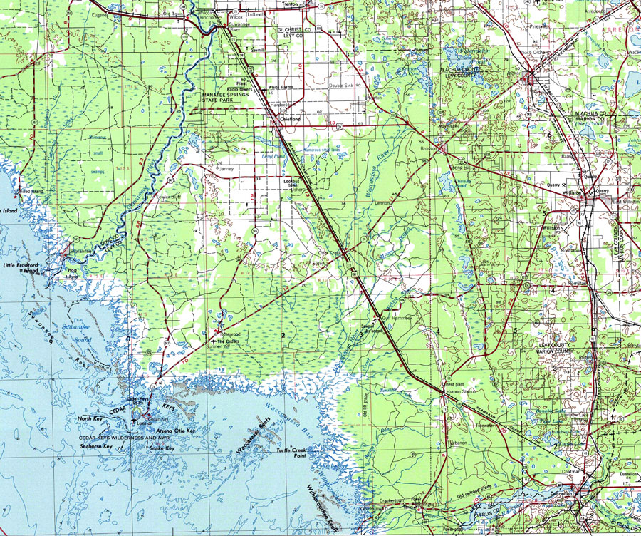
Description: A National Oceanic and Atmospheric Administration map of Levy Couty current to 1975. This map shows both topographic and bathymetric features. Levy county and its jurisdicitions along with surrounding counties are shown. The map shows man made structures such as primary and secondary roads, bridges et cetera. Natural features include rivers, lakes, swamps, drylands and wetlands The map scale is 1:250,000. North Geodetic Vertical Datum1929 is used. Key to NOAA maps.
Place Names: Levy, Albion, Barco, Bronson, Cedar Key, Chiefland, Ellzy, Clay Landing, Fanning Springs, Gore, Gulf Hammock, Inglis, Judson, Levyville, Morriston, Otter Creek, Rosewood, Sumner, Wacahoota, Williston
ISO Topic Categories: transportation, oceans, inlandWaters, boundaries
Keywords: Levy County, physical, political, transportation, physical features, major political subdivisions, county borders, local jurisdictions, roads, railroads, water routes, transportation, oceans, inlandWaters, boundaries, Transverse_Mercator, 1975
Source: U.S. Geologic Survey and National Ocean Service, Eastern United States (Reston, VA: NOAA, 1975)
Map Credit: Courtesy the U.S. National Oceanic and Atmospheric Administration |
|