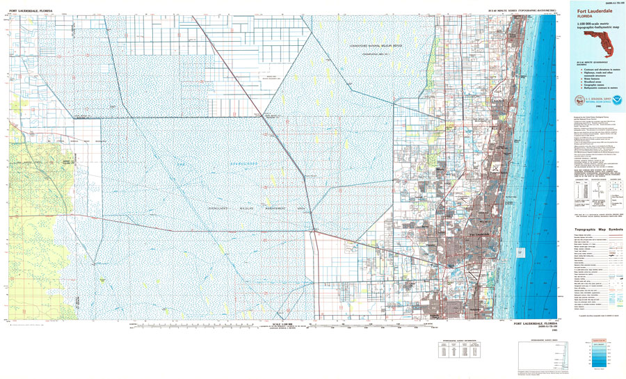
Description: A US Geological Survey and National Ocean Service map of south Florida from Hollywood to Boynton Beach, current to 1985. This topographic-bathymetric map shows elevations and depths in meters. Contour interval 5 meters. Bathymetric contour interval 2 meters. Map also includes roads, waterways, airports, national parks and refuges, swamps, and forests. Map divided into townships and ranges. North American 1929 Datum used. The map scale is 1:100,000, metric . Key to NOAA maps.
Place Names: 1950-1999, Fort Lauderdale, Delray Beach, Pompano Beach, Boca Raton, Deerfield Beach, Coconut Creek, Lauderdale Lakes, Plantation, Tamarac, Hollywood, Pembroke Pines, Cooper City
ISO Topic Categories: transportation, oceans, inlandWaters, elevation, boundaries
Keywords: Fort Lauderdale Area, physical, political, transportation, hydrological, physical features, topographical, county borders, roads, railroads, water routes, water depths, transportation, oceans, inlandWaters, elevation, boundaries, Unknown,1985
Source: US Geological Survey and National Ocean Service, (Reston, VA: US Geological Survey, 1985)
Map Credit: Courtesy the U.S. National Oceanic and Atmospheric Administration |
|