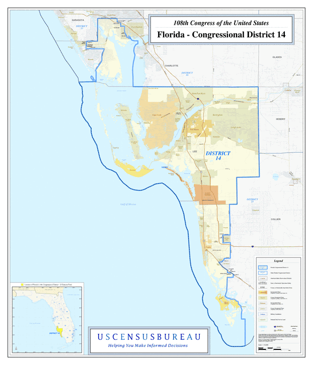
Description: This is a map of Florida's Congressional District 14 in the Congressional Districts of the United States - 108th Congress. It shows map legend, main cities, city roads, state roads, U. S. highways and county names.
Place Names: 2000-, Charlotte, Collier, Lee, Charlotte Harbor, Bokeelia, Cape Coral, North Fort Myers, Buckingham, Lehigh Acres, Fort Myers, Captiva, Pineland, Sanibel, St. James City, Iona, Estero, Bonita Springs, Naples, Marco Island, Gulf of Mexico
ISO Topic Categories: boundaries, transportation, inlandWaters, oceans
Keywords: 108th Congress - Florida's Congressional District 14, transportation, political, county borders, roads, boundaries, transportation, inlandWaters, oceans, Unknown,2003
Source: United States Census Bureau Geography Division, United States Census Bureau (Government Printing Office, 2003)
Map Credit: Courtesy of the United States Census Bureau. |
|