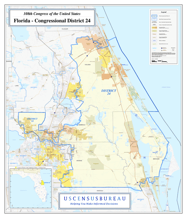
Description: This is a map of Florida's Congressional District 24 in the Congressional Districts of the United States - 108th Congress. It shows map legend, main cities, city roads, state roads, U. S. highways and county names.
Place Names: 2000-, Brevard, Orange, Seminole, Volusia, Atlantic Ocean, Daytona Beach, Port Orange, New Smyrna Beach, Glencoe, Edgewater, Oakhill, Mims, Geneva, Oviedo, Winter Springs, Lockhart, Forest City, Apopka, Zellwood, Bithlo, Titusville, Cocoa, Wedgefield
ISO Topic Categories: boundaries, transportation, oceans, inlandWaters
Keywords: 108th Congress - Florida's Congressional District 24, transportation, political, county borders, roads, boundaries, transportation, oceans, inlandWaters, Unknown,2003
Source: United States Census Bureau Geography Division, United States Census Bureau (Government Printing Office, 2003)
Map Credit: Courtesy of the United States Census Bureau. |
|