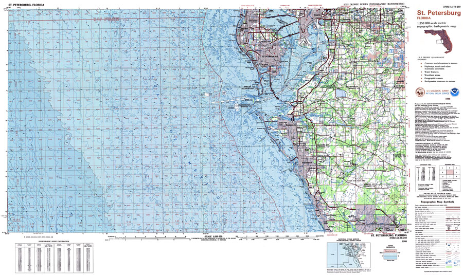
Description: A US Geological Survey and National Ocean Service map of the Gulf Coast from St. Petersburg to Sarasota, current to 1988. This topographic-bathymetric map shows elevations and depths in meters. Contour interval 10 meters. Bathymetric contour interval 10 meters. Map also includes roads, waterways, airports, national parks and refuges, swamps, and forests. Map divided into townships and ranges. North American 1927 Datum used. The map scale is 1:250,000, metric . Key to NOAA maps.
Place Names: 1950-1999, Tampa, St Petersburg, Clearwater, Largo, Pinellas Park, Gulfport, Treasure Island,Brandon, Ruskin, Bradenton, Palmetto, Sarasota
ISO Topic Categories: transportation, inlandWaters, oceans, elevation, boundaries
Keywords: St. Petersburg Quadrangle, physical, political, transportation, hydrological, physical features, topographical, county borders, roads, railroads, water depths, transportation, inlandWaters, oceans, elevation, boundaries, Unknown,1988
Source: US Geological Survey and National Ocean Service, (Reston, VA: US Geological Survey, 1988)
Map Credit: Courtesy the U.S. National Oceanic and Atmospheric Administration |
|