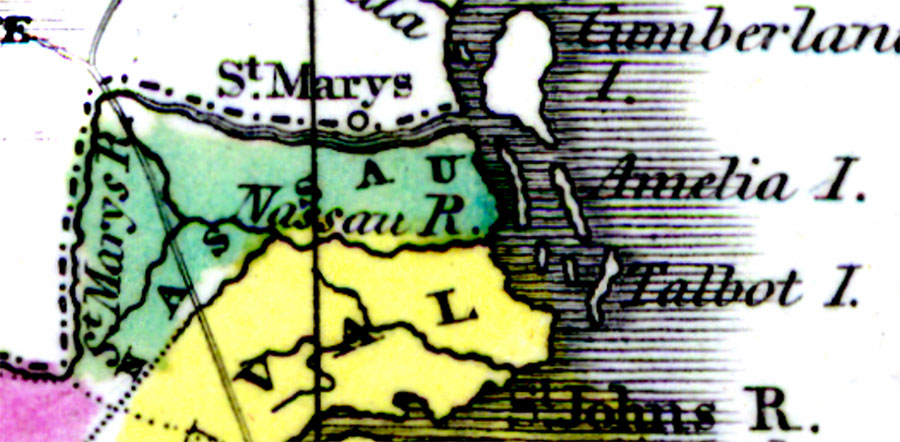
Description: Digitization provided by the USF Libraries Digitization Center. Rare Maps. This is a detail map of Nassau county circa 1834. It shows main towns and cities including Amelia Island. It also shows inland waters including the St. Marys River.
Place Names: Nassau, Amelia Island, Nassau River, St. Marys River, Atlantic Ocean
ISO Topic Categories: inlandWaters, boundaries, oceans
Keywords: Nassau County, physical, historical, political, physical features, county borders, country borders, inlandWaters, boundaries, oceans, Unknown,1834 AD
Source: William Darby, Memoir on the geography and natural and civil history of Florida (Philadelphia, PA: Thomas H. Palmer, 1834)
Map Credit: Courtesy of the Special Collections Department, University of South Florida. |
|