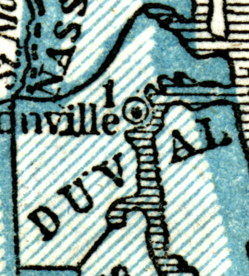
Description: A map of Duval County as of 1845 showing Jacksonville and the St. Johns River.
Place Names: Duval, Jacksonville, St. Johns River
ISO Topic Categories: oceans, inlandWaters, boundaries
Keywords: Duval County, physical, political, physical features, county borders, oceans, inlandWaters, boundaries, Unknown,1845
Source: Sidney Edwards Morse, A system of Geography, for the use of schools (New York, NY: Harper & Brothers, 1845)
Map Credit: Courtesy the private collection of Roy Winkelman. |
|