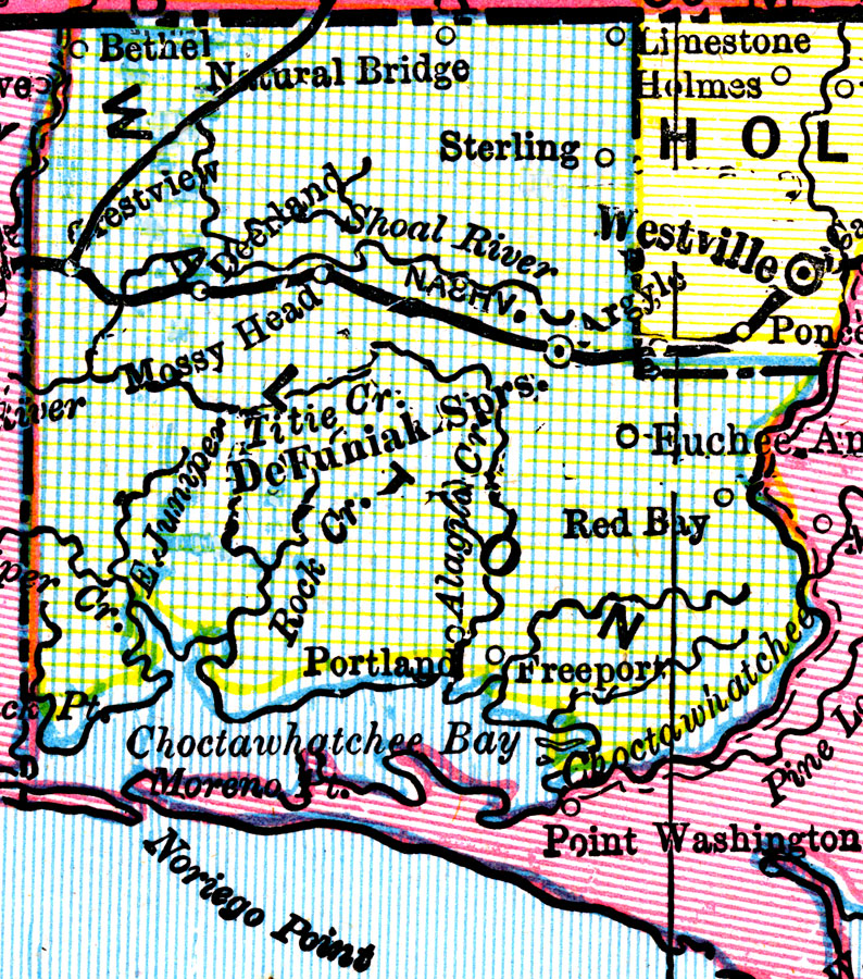
Description: A map of Walton County as of 1898 showing rivers, bays, railroads, towns, and the county seat, DeFuniak Springs.
Place Names: Walton, Argyle, De Funiak Springs, Deerland, Euchee Anna, Red Bay, Sterling, Crestview, Mossy Head, Freeport, Portland
ISO Topic Categories: boundaries, inlandWaters, transportation
Keywords: Walton County, physical, political, transportation, physical features, county borders, railroads, boundaries, inlandWaters, transportation, Unknown,1898
Source: George Franklin Cram, Cram's Universal Atlas: Geographical, Astronomical, and Historical (Chicago, IL: Geo. F. Cram, 1898)
Map Credit: Courtesy the private collection of Roy Winkelman. |
|