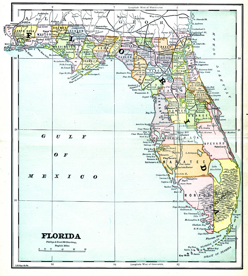
Description: A map of the state of Florida as of 1883 showing counties, the state capital, county seats, towns, and bodies of water.
Place Names: 1880-1899, Tampa, Miami, Tallahassee, Sarasota, Saint Augustine, Key West, Jacksonville, Gainesville, Pensacola, Fort Myers, Fort Walton Beach, Orlando
ISO Topic Categories: boundaries, oceans, inlandWaters
Keywords: Florida, physical, political, transportation, physical features, county borders, boundaries, oceans, inlandWaters, Unknown,1883
Source: L.B. Folger, (Broadway, NY: Phillips & Hunt, 1883)
Map Credit: Courtesy the private collection of Roy Winkelman. |
|