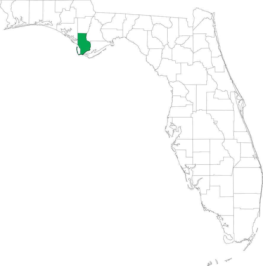
Description: This is a locater map for Gulf County, 2008. The state is transparent while the county itself is highlighted by color.
Place Names: Gulf,
ISO Topic Categories: boundaries
Keywords: Locater Map of Gulf County, political, outline, highlight, locater, county borders, boundaries, Unknown,2008
Source: Florida Center for Instructional Technology, (Tampa, FL: Florida Center for Instructional Technology, 2008)
Map Credit: Courtesy of Roy Winkelman. |
|