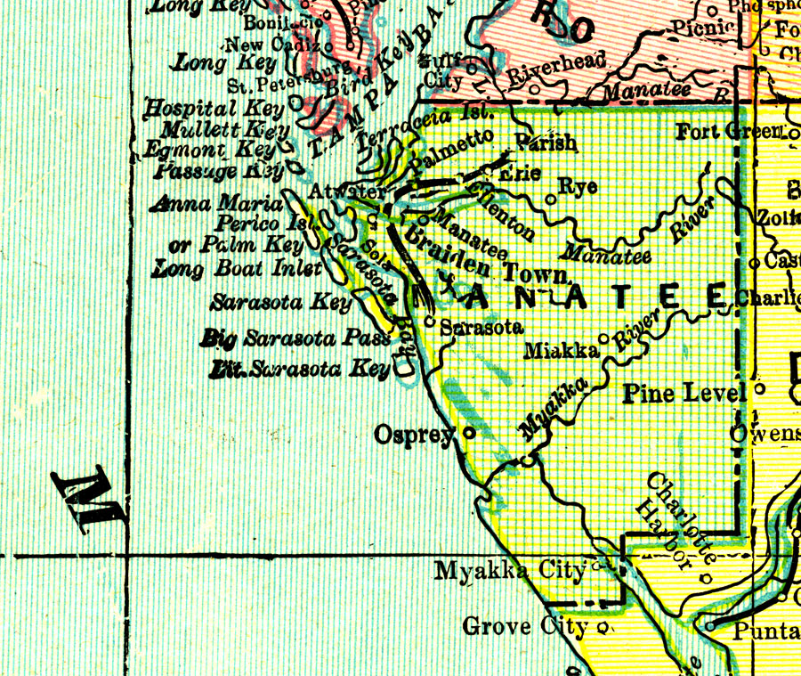
Description: A map of Manatee County current to 1898 showing county lines and the county seat (Bradenton).
Place Names: Manatee, Bradenton, Manatee, Parish, Sarasota, Ellenton, Palmetto, Myakka City
ISO Topic Categories: boundaries, inlandWaters
Keywords: Manatee County, physical, political, physical features, county borders, boundaries, inlandWaters, Unknown,1898
Source: John W. Iliff and Company, (, : Iliff Atlas, 1898)
Map Credit: Courtesy the private collection of Roy Winkelman |
|