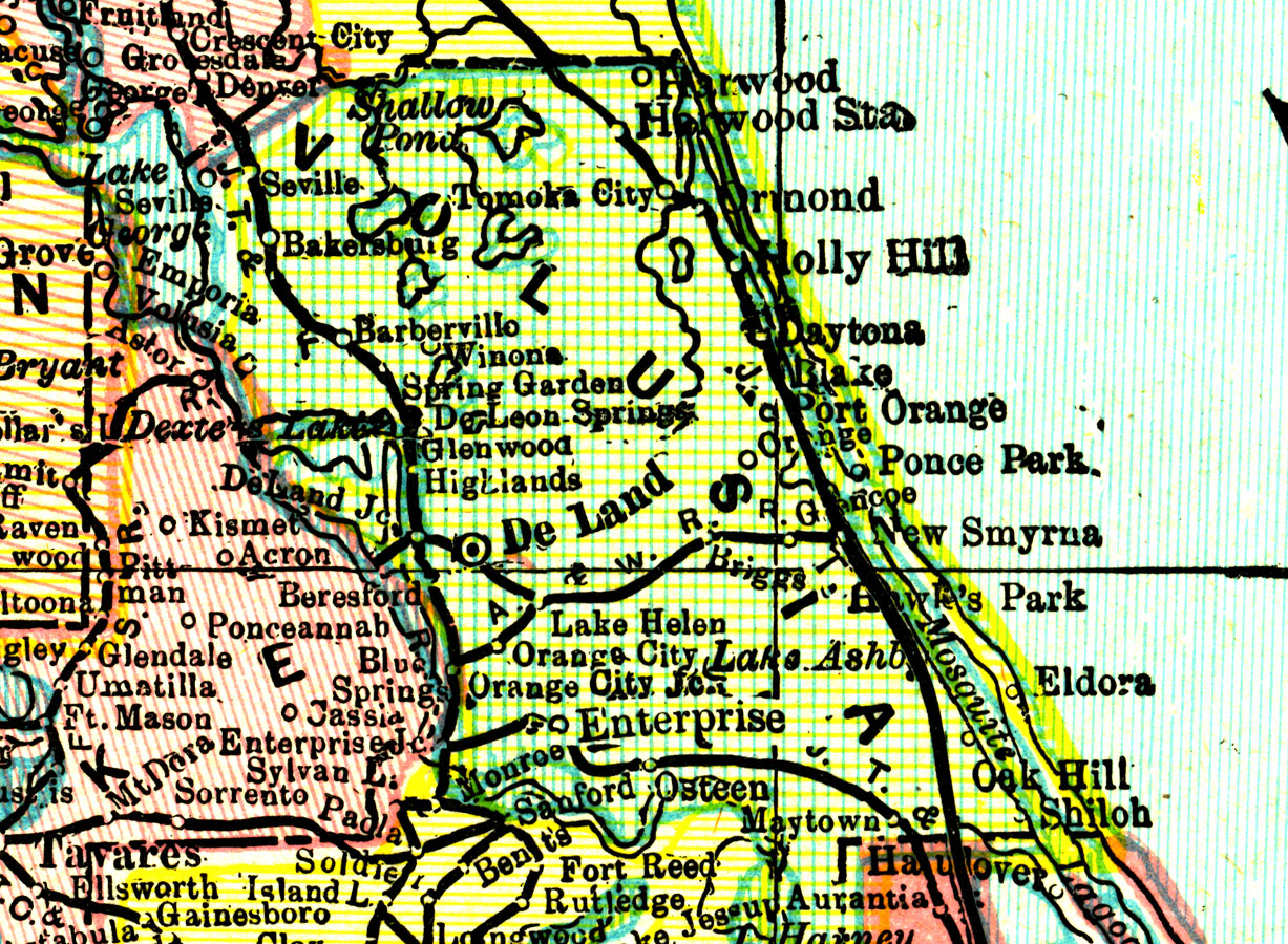
Description: A map of Volusia County showing county lines, the county seat (DeLand), and railroads connecting the major cities current to 1898.
Place Names: Volusia, DeLand, Holly Hill, Daytona Beach, Lake Helen , Orange City, New Smyrna, Port Orange, Oak Hill, Highlands, Barberville
ISO Topic Categories: boundaries, transportation, inlandWaters
Keywords: Volusia County, physical, political, transportation, physical features, county borders, railroads, boundaries, transportation, inlandWaters, Unknown,1898
Source: John W. Iliff and Company, (, : Iliff Atlas, 1898)
Map Credit: Courtesy the private collection of Roy Winkelman |
|