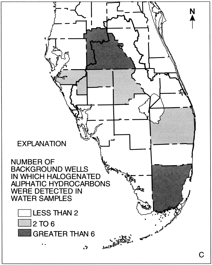
Description: This map from the U. S. Geological Survey Water Resources Investigation Report number 96-4177, Water-Quality Assessment of Southern Florida, shows the number of background wells in which halogenated aliphatic hydrocarbons were detected in water samples.
Place Names: 1950-1999, Southern Florida National Water Quality Assessment Unit, Peace River, Myakka River, Kissimmee River, Lake Okeechobee, Everglades Agricultural Area, East Coast Urban Area, Everglades, Big Cypress, Caloosahatchee River, St. Lucie River,
ISO Topic Categories: boundaries, geoscientificInformation, inlandWaters, oceans
Keywords: Occurrence of Hydrogenated Aliphatic Hydrocarbons from Background Wells in Southern Florida, physical, political, hydrological, kground water, khydrological, physical features, county borders, boundaries, geoscientificInformation, inlandWaters, oceans, Unknown,1996
Source: K. H. Haag, R. L. Miller, L. A. Bradner, and D. S. McCulloch , USGS Water Resources Investigations Report 96-4177 (Tallahassee, FL: U. S. Geological Survey, 1996) 24
Map Credit: Courtesy the University of South Florida Library |
|