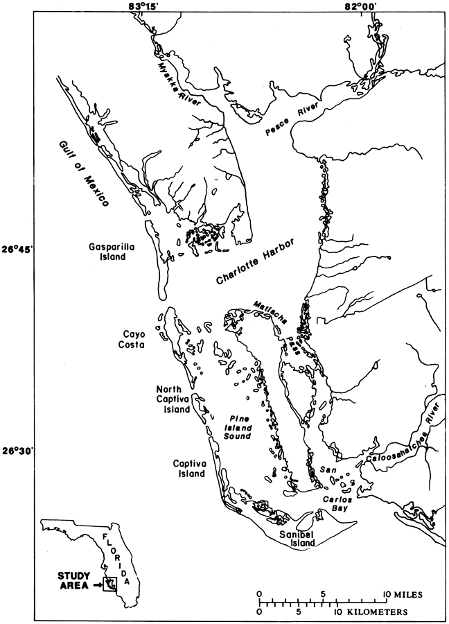
Description: This map from the U. S. Geological Survey Open-File Report Report number 87-472 shows the Charlotte Harbor estuarine system, including discharge points of the Myakka, Peace, and Caloosahatchee rivers.
Place Names: 1950-1999, Charlotte Harbor, Peace River, Myakka River, Caloosahatchee River, Gulf of Mexico, Gasparilla Island, Cayo Costa, Captiva Island, Sanibel Island, Carlos Bay,
ISO Topic Categories: boundaries, inlandWaters, oceans
Keywords: The Charlotte Harbor Estuarine System, physical, hydrological, khydrological, physical features, drainage basins, boundaries, inlandWaters, oceans, Unknown,1988
Source: K. M. Hammett, USGS Open-File Report 87-472 (Tallahassee, FL: U. S. Geological Survey, 1988) 3
Map Credit: Courtesy the University of South Florida Library |
|