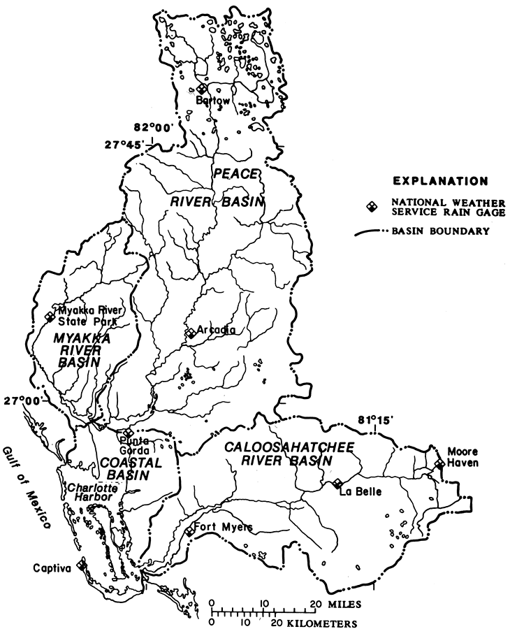
Description: This map from the U. S. Geological Survey Open-File Report Report number 87-472 shows the drainage basins that discharge into the Charlotte Harbor estuarine system. These drainage basins include the Peace, Myakka, Caloosahatchee river basins and the coastal basin.
Place Names: 1950-1999, Peace River Basin, Myakka River Basin, Coastal Basin, Caloosahatchee River Basin, Bartow, Arcadia, Myakka River State Park, Punta Gorda, Captiva, Fort Myers, La Belle, Moore Haven
ISO Topic Categories: boundaries, inlandWaters
Keywords: Charlotte Harbor Inflow Area, physical, hydrological, khydrological, physical features, drainage basins, boundaries, inlandWaters, Unknown,1988
Source: K. M. Hammett, USGS Open-File Report 87-472 (Tallahassee, FL: U. S. Geological Survey, 1988) 4
Map Credit: Courtesy the University of South Florida Library |
|