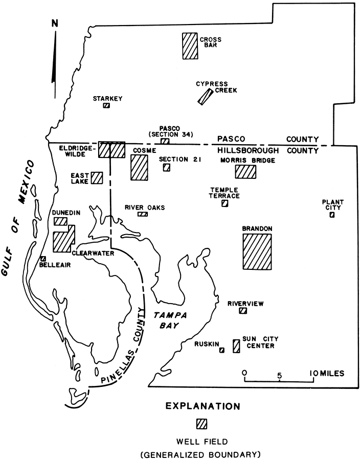
Description: This map from the U. S. Geological Survey Open-File Report 81-1060, Estimated Water Use in the Southwest Florida Water Management District and Adjacent Areas, 1980, shows the location of well fields in Hillsborough, Pasco, and Pinellas Counties.
Place Names: 1950-1999, Cross Bar, Cypress Creek, Starkey, Eldridge Wilde, East Lake, Dunedin, Clearwater, Belleair, Cosme, River Oaks, Morris Bridge, Temple Terrace, Plant City, Brandon, Riverview, Ruskin, Sun City Center
ISO Topic Categories: boundaries, geoscientificInformation
Keywords: Well Fields of Tampa Bay Area, physical, political, hydrological, khydrological, khydrologic units, physical features, county borders, boundaries, geoscientificInformation, Unknown,1981
Source: A. D. Duerr and J. T. Trommer, USGS Open-File Report 81-1060 (Tallahassee, FL: U. S. Geological Survey, 1981) 35
Map Credit: Courtesy the University of South Florida Library |
|