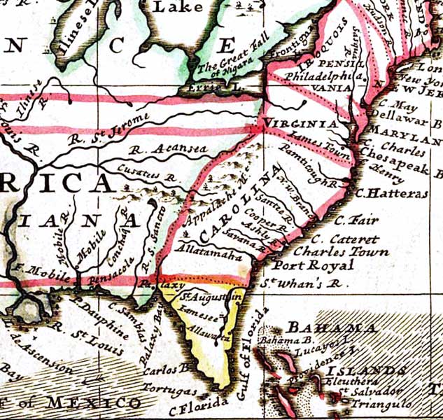
Description: A detail from the 1719 Moll World Map showing the Florida peninsula, coastline, major rivers including the St. Johns River, and settlements including St. Augustine.
Place Names: 1740-1759, Florida, St. Augustine, St. Augustin, Iamesee, Allawata, Palaxy Bay, Pensacola, Tortugas
ISO Topic Categories: inlandWaters, oceans, society
Keywords: Detail - A new & correct map of the whole World, physical, political, historical, physical features, major political subdivisions, inlandWaters, oceans, society, Unknown,1719
Source: Herman Moll, The World Described: Or a New and Correct Sett of Maps (London, : , 1720)
Map Credit: Courtesy of the Geography and Map Division of the Library of Congress |
|