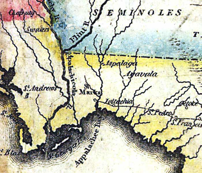
Description: A detail of the 1816 map "Map of the United States of America : with the contiguous British and Spanish possessions / compiled from the latest & best authorities by John Melish" showing the Spanish territory of Florida. This map shows coastal features, major lakes, rivers, and settlements. Relief is shown pictorially. The route between St. Marks and St. Augustine is shown.
Place Names: 1800-1819, Apalachicola River, St. Marks, St. Andrews Bay, St. Joseph Bay, Appalachee Bay, Apalachee Bay
ISO Topic Categories: boundaries, inlandWaters, oceans, society
Keywords: Detail - Map of the United States of America , physical, political, historical, physical features, major political subdivisions, boundaries, inlandWaters, oceans, society, Unknown,1816
Source: John Melish, (Philadelphia, PA: John Melish, 1816)
Map Credit: Courtesy of the Geography and Map Division of the Library of Congress |
|