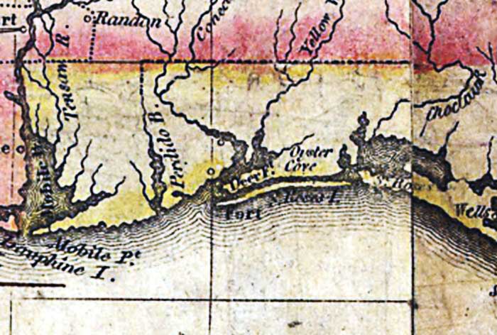
Description: A detail of the 1816 map "Map of the United States of America : with the contiguous British and Spanish possessions / compiled from the latest & best authorities by John Melish" showing the Spanish territory of Florida. This map shows coastal features, major lakes, rivers, and settlements. Relief is shown pictorially.
Place Names: 1800-1819, Santa Rosa Island, Deer Fort, Oyster Cove
ISO Topic Categories: boundaries, inlandWaters, oceans, society
Keywords: Detail - Map of the United States of America , physical, political, historical, physical features, major political subdivisions, boundaries, inlandWaters, oceans, society, Unknown,1816
Source: John Melish, (Philadelphia, PA: John Melish, 1816)
Map Credit: Courtesy of the Geography and Map Division of the Library of Congress |
|