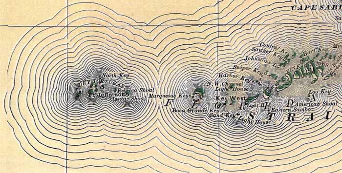
Description: This map of the Lower Keys in Monroe County shows forts, keys, inland water, and cities current to 1880.
Place Names: Monroe, Key West, Cape Sable, Dry Tortugas, Sand Key, Boca Grande Key, Pine Islands
ISO Topic Categories: boundaries, inlandWaters, oceans
Keywords: Monroe County- Lower Keys, physical, political, forts, physical features, county borders, boundaries, inlandWaters, oceans, Unknown,1880
Source: , Leslie's New World Atlas (New York, NY: Leslie-Judge Company, 1880)
Map Credit: Courtesy the private collection of Roy Winkelman. |
|