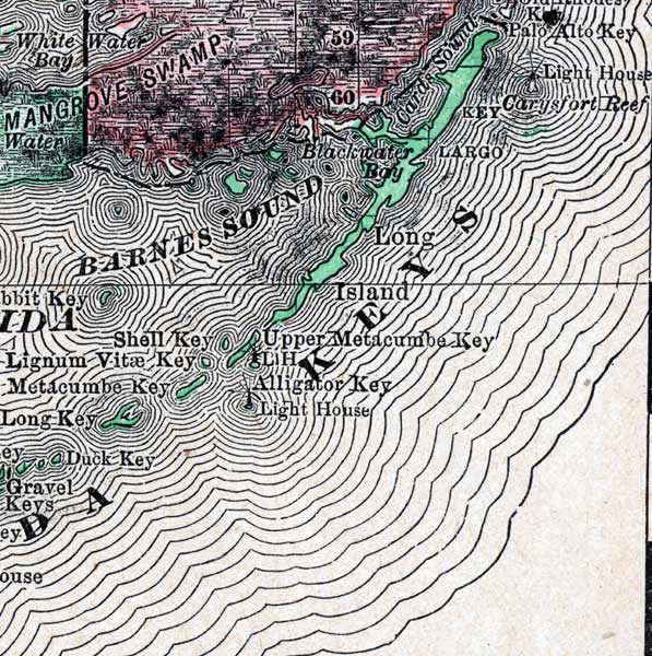
Description: A map of the Upper Keys in Monroe County mainland showing county lines, keys, and cities current to 1888.
Place Names: Monroe, Key Largo, Blackwater Bay, Palo Alto Key, Long Island, Upper Metacumbe Key, Metacumbe Key, Shell Key
ISO Topic Categories: transportation, oceans, inlandWaters, boundaries
Keywords: Monroe County- Upper Keys, physical, political, transportation, physical features, county borders, railroads, transportation, oceans, inlandWaters, boundaries, Unknown,1888
Source: , Atlas of the World (Chicago, IL: Rand McNally & Co., 1888)
Map Credit: Courtesy the private collection of Roy Winkelman |
|