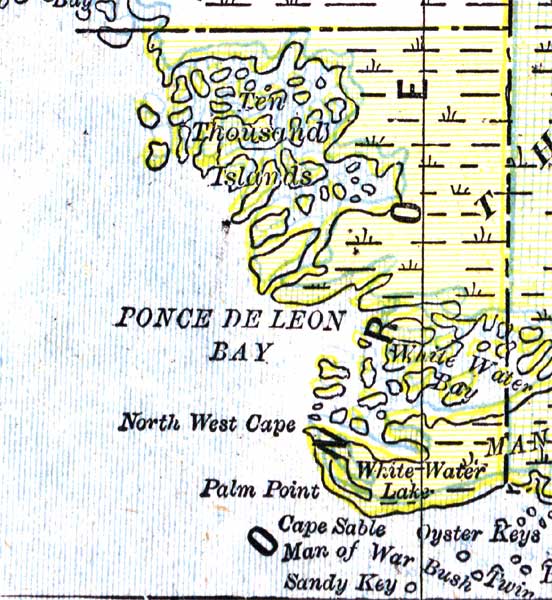
Description: A map of the Monroe County mainland showing major cities, towns, bodies of water, and county lines current to 1890.
Place Names: Monroe, Cape Sable, Ponce De Leon Bay, White Water Bay, Oyster Keys, Sandy Key, Palm Point, North West Cape, Ten Thousand Islands
ISO Topic Categories: boundaries, inlandWaters, oceans
Keywords: Monroe County Mainland, physical, political, physical features, county borders, boundaries, inlandWaters, oceans, Unknown,1890
Source: George F. Cram, (Chicago, IL: Geo. F. Cram, 1890) 47
Map Credit: Courtesy the private collection of Roy Winkelman. |
|