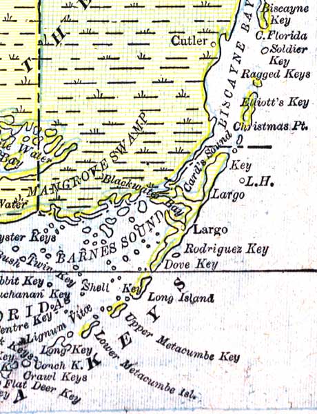
Description: A map of the Upper Keys in Monroe County showing major cities, towns, bodies of water, and county lines current to 1890.
Place Names: Monroe, Key Largo, Key Biscayne, Shell Key, Mangrove Swamp, Barnes Sound, Blackwater Bay
ISO Topic Categories: boundaries, inlandWaters, oceans
Keywords: Monroe County- Upper Keys, physical, political, physical features, county borders, boundaries, inlandWaters, oceans, Unknown,1890
Source: George F. Cram, (Chicago, IL: Geo. F. Cram, 1890) 47
Map Credit: Courtesy the private collection of Roy Winkelman. |
|