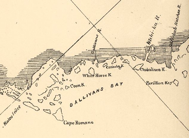
Description: This detail of a map of the Gulf of Mexico showing Gallivans Bay with surrounding islands and keys as well as bodies of water, including inlets and rivers current to 1861. The map scale is 1:600,000.
Place Names: Collier, Cape Romano, Gallivans Bay, Pavillon Key,
ISO Topic Categories: inlandWaters, oceans
Keywords: Detail - Preliminary chart of the northeastern part of the Gulf of Mexico, physical, physical features, inlandWaters, oceans, Unknown,1861
Source: United States Coastal Survey, (Washington, DC: Government Printing Office, 1861)
Map Credit: Courtesy of the Geography and Map Division of the Library of Congress |
|