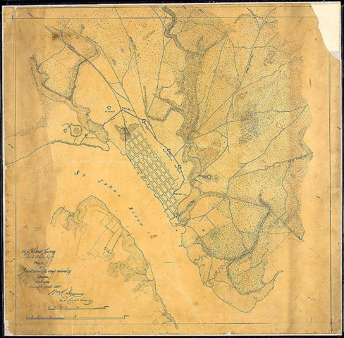
Description: This map shows Jacksonville and its vicinity current to April 1864. It shows the grid of streets and main defenses, including the border to the main township. The Saint Johns River and other major and minor waterways are depicted.
Place Names: Duval, Saint Johns River, Jacksonville
ISO Topic Categories: inlandWaters
Keywords: Map of Jacksonville, physical, transportation, physical features, roads, inlandWaters, Unknown,1864
Source: Wm. H. Dennis, (Washington, DC: United States War Department, 1864)
Map Credit: Courtesy of the National Archives and Records Administration |
|