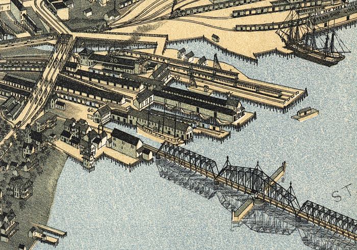
Description: This detail of a map is of a panoramic view of Jacksonville, current to 1893. The map shows details about streets, harbors, bridges, and railroads. The detail shows wharves and a bridge. In the corner, there is a dock for the steam ship lines from the Saint Johns River. The map is from a bird's-eye-view and is drawn to perspective rather than scale. The perspective is from northwest to southeast.
Place Names: Duval, Saint Johns River, Jacksonville
ISO Topic Categories: inlandWaters, oceans
Keywords: Detail - Jacksonville Florida, physical, transportation, physical features, roads, railroads, inlandWaters, oceans, Unknown,1893
Source: Augustus Koch, (Kansas City, MO: Hudson-Kimberly Publishing Company, 1893)
Map Credit: Courtesy of the Geography and Map Division of the Library of Congress |
|