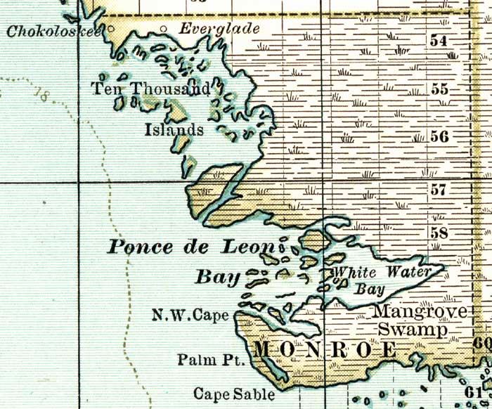
Description: A map of the Monroe County mainland showing cities, towns, bodies of water and county lines, current to 1897. Township and Range grids extending from the Tallahassee Meridian and Tallahassee Base Line are shown.
Place Names: Monroe, Ten Thousand Islands, Cape Sable, Ponce De Leon Bay, White Water Bay, Chokoloskee, Everglade
ISO Topic Categories: boundaries, oceans
Keywords: Monroe County Mainland, physical, political, physical features, county borders, boundaries, oceans, Unknown,1897
Source: , The Century Atlas (New York, NY: The Century Co., 1897) 39
Map Credit: Courtesy the private collection of Roy Winkelman. |
|