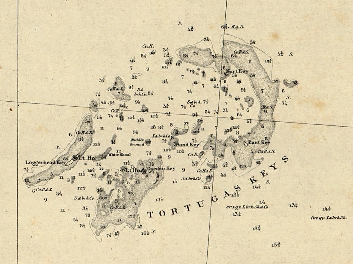
Description: This detail of a map of the western end of the Florida Reefs showing the Tortugas Keys with encompassed islands and keys as well as bodies of water, including inlets and rivers surveyed in 1863, printed in 1864. The map scale is 1:200,000.
Place Names: Monroe, Tortuga Keys, Gulf of Mexico,
ISO Topic Categories: inlandWaters, oceans
Keywords: Detail - Preliminary chart of western end of Florida Reefs including Tortugas Keys, physical, physical features, water depths, inlandWaters, oceans, Unknown,1863-1864
Source: United States Coastal Survey, (Washington, DC: Government Printing Office, 1864)
Map Credit: Courtesy of the Geography and Map Division of the Library of Congress |
|