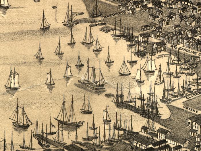
Description: This detail of a map is of a panoramic view of Key West, current to 1884. The map shows details about streets, harbors, and the naval depot. This map highlights Key West in relation to salt ponds and the Gulf of Mexico. Dwellings and other buildings are shown. The detail portrays the harbor of Key West. The map is from a bird's-eye-view and is drawn to perspective rather than scale. The perspective is from southwest to northeast.
Place Names: Monroe, Key West, Fort Taylor,
ISO Topic Categories: inlandWaters, transportation, oceans
Keywords: Detail - Bird's Eye View of Key West, Fla., physical, transportation, physical features, roads, inlandWaters, transportation, oceans, Unknown,1884
Source: Beck & Pauli, (Milwaukee, WI: Milwaulkee, Norris, Wellge, & Company, 1884)
Map Credit: Courtesy of the Geography and Map Division of the Library of Congress |
|