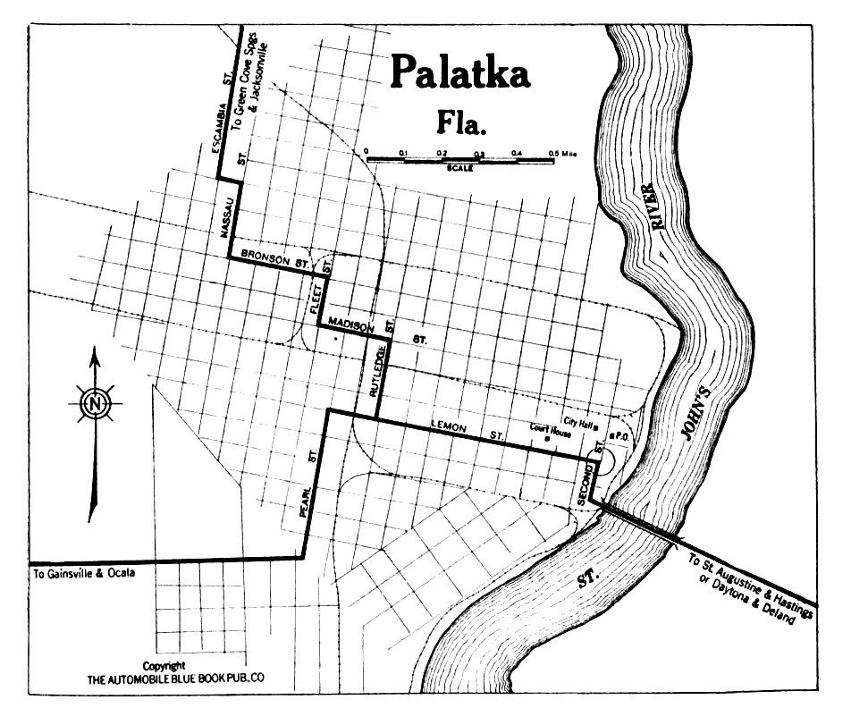
Description: Map of Palatka, Florida in 1919 C.E. Map shows local roads and railroads around Lakeland. Roads leading into Palatka come from Saint Augustine, Daytona, Gainsville, Ocala, and Jacksonville. This map shows the Saint Johns River and the bridge that spans it.
Place Names: Putnam, Palatka, Saint Johns River,
ISO Topic Categories: transportation, inlandWaters
Keywords: Palatka Florida, physical, transportation, roads, railroads, transportation, inlandWaters, Unknown,1919
Source: The Automobile Blue Book Corporation, Middle Atlantic and Southeastern Automobile Blue Book 1922 (New York, NY: The Automobile Blue Book Corporation, 1919)
Map Credit: Courtesy the private collection of Roy Winkelman |
|