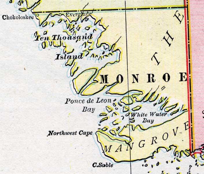
Description: A map of the Monroe County mainland showing county lines, inland water and cities, current to 1899.
Place Names: Monroe, Cape Sable, Ten Thousand Islands, Chokoloskee, Everglade, Northwest Cape, Ponce de Leon Bay, White Water Bay
ISO Topic Categories: boundaries, oceans
Keywords: Monroe County Mainland, physical, political, physical features, county borders, boundaries, oceans, Unknown,1899
Source: George F. Cram, (Chicago, IL: George F. Cram Company, 1899) 174-175
Map Credit: Courtesy the private collection of Roy Winkelman. |
|