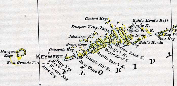
Description: A map of the Lower Keys in Monroe County showing county lines, the county seat at Key West, inland water and cities, current to 1899.
Place Names: Monroe, Key West, Bahia Honda, Sugar Loaf Key, Sugarloaf Key
ISO Topic Categories: boundaries, oceans
Keywords: Monroe County- Lower Keys, physical, political, physical features, county borders, boundaries, oceans, Unknown,1899
Source: George F. Cram, (Chicago, IL: George F. Cram Company, 1899) 174-175
Map Credit: Courtesy the private collection of Roy Winkelman. |
|