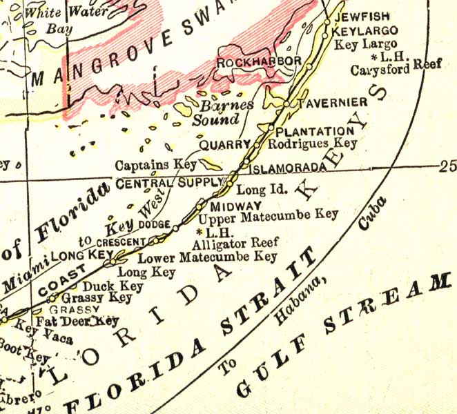
Description: This map of the Upper Key in Monroe County shows county boundaries, inland water, railroads, and cities current to 1916.
Place Names: Monroe, Key Largo, Tavernier, Midway, Bay of Florida, Crescent, Dodge
ISO Topic Categories: boundaries, transportation, inlandWaters, oceans
Keywords: Monroe County- Upper Keys, physical, political, transportation, physical features, county borders, railroads, boundaries, transportation, inlandWaters, oceans, Unknown,1916
Source: , (Indianapolis, IN: National Map Company, 1916)
Map Credit: Courtesy the private collection of Roy Winkelman. |
|