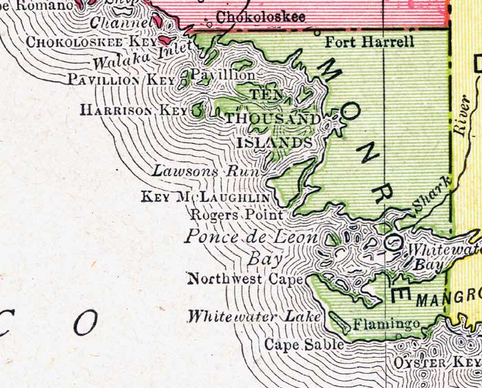
Description: A map of the Monroe County mainland showing county lines, inland water and cities current to 1917.
Place Names: Monroe, Cape Romano, Cape Sable, Chokoloskee, Ten Thousand Islands, Northwest Cape, Flamingo, Key McLaughlin, Ponce De Leon Bay, Pavillion, Harrison Key, Fort Harrell
ISO Topic Categories: inlandWaters, boundaries, oceans
Keywords: Monroe County Mainland, physical, political, physical features, county borders, inlandWaters, boundaries, oceans, Unknown,1917
Source: Rand McNally, New Imperial Atlas of the World (Chicago, IL: Rand, McNally & Co., 1917)
Map Credit: Courtesy the private collection of Roy Winkelman. |
|