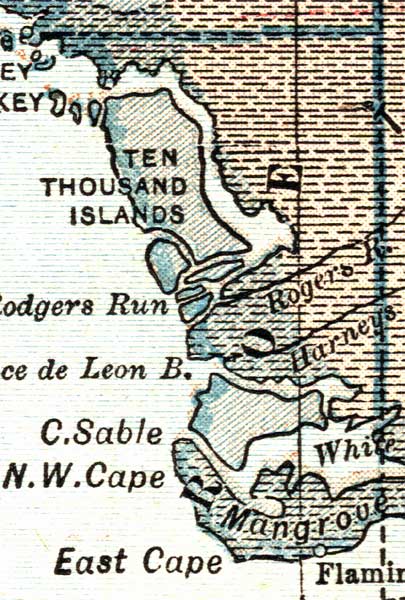
Description: A map of the Monroe County mainland showing county lines, inland water and cities current to 1921.
Place Names: Monroe, Ten Thousand Islands, Cape Sable, Ponce De Leon Bay, Rodgers Run, East Cape, Flamingo
ISO Topic Categories: inlandWaters, boundaries, oceans
Keywords: Monroe County Mainland, physical, political, physical features, county borders, inlandWaters, boundaries, oceans, Unknown,1921
Source: L. L. Poates , World Atlas and Gazetteer (New York, NY: P.F. Collier & Son, 1921)
Map Credit: Courtesy the private collection of Roy Winkelman. |
|