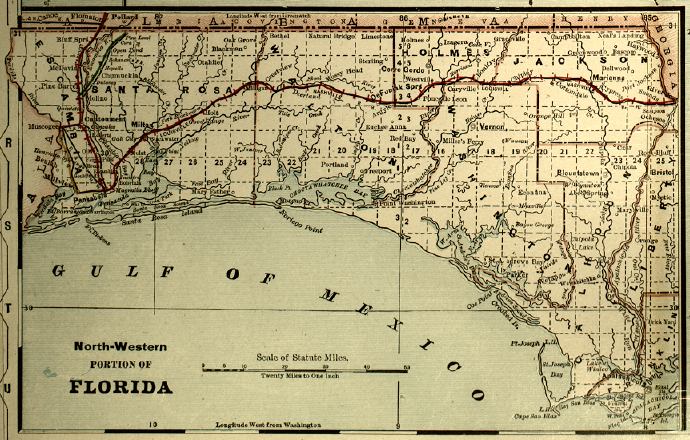
Description: Detail from the 1899 Bradley's Atlas showing the northwestern portion of the Florida panhandle, with counties, railroads, cities, inland waters, etc. Includes Township and Range grid. Digitization provided by the USF Libraries Digitization Center. Rare Maps. Map scale 1:1,267,200.
Place Names: 1880-1899, St. Johns River, Atlantic Ocean, Pensacola, Apalachicola, Gulf of Mexico, Milton, De Funiak Springs, Cape San Blas
ISO Topic Categories: inlandWaters, oceans, boundaries, transportation
Keywords: Detail - Florida, physical, historical, political, transportation, physical features, county borders, railroads, inlandWaters, oceans, boundaries, transportation, Unknown,1889
Source: Wm. M. Bradley and Bros., Bradley's atlas of the world for commercial and library reference (Philadelphia, PA: Wm. M. Bradley and Bros., 1889) 240-241
Map Credit: Courtesy of the Special Collections Department, University of South Florida. |
|
