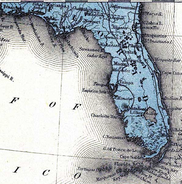
Description: This detail is from a supplement map to the Evening Post, Wednesday, May 25, 1898. The map shows railroad routes, major towns and railroad stations.
Place Names: 1880-1899, Uchee Anna, Tallahassee, Jasper, Jacksonville, Pilatka, Palatka, Ocala, Tampa, Punta Gorda, Miami, Key West
ISO Topic Categories: boundaries, inlandWaters, oceans, transportation
Keywords: Detail - The Evening Post map of the West Indies, physical, political, transportation, physical features, major political subdivisions, railroads, boundaries, inlandWaters, oceans, transportation, Unknown,1898
Source: , (, : The Evening Post, 1898)
Map Credit: Courtesy of the Geography and Map Division of the Library of Congress |
|