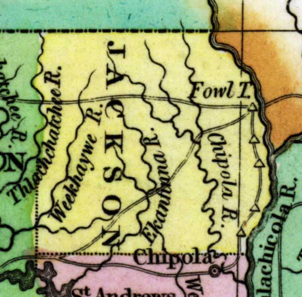
Description: This detail of a 1827 map shows major rivers, lakes, coastal features, settlements, and roads in Jackson County. The main feature of this detail are the rivers that run through Jackson County: Chipola, Weekhaywe, ad Ekanfinna to name a few. Sections of proposed shipping canals are also shown.
Place Names: Jackson, Chipola, Weekhaywe River, Ekanfinna River,
ISO Topic Categories: boundaries, inlandWaters, oceans
Keywords: Detail - Geographical, statistical, and historical map of Florida, physical, political, historical, physical features, major political subdivisions, county borders, boundaries, inlandWaters, oceans, Unknown,1827
Source: Joseph Drayton, A complete historical, chronological, and geographical American atlas (Philadelphia, PA: Carey and Lea , 1827) Plate 37
Map Credit: Courtesy of the Special Collections Department, University of South Florida |
|