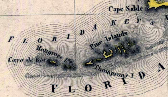
Description: Meyer's 1845 map of Florida is derived from the Tanner/Mitchell Universal atlas map of 1839. This detail of that map covers the lower keys of Monroe County. Routes of travel are covered along with major waterways. The tip of the Florida mainland, Cape Sable, is shown in the upper left corner of the detail. Shown in the detail are Mangrove Island, Pine Islands, and Thompson's Island.
Place Names: Monroe, Cape Sable, Pine Islands, Mangrove Islands, Thompson's Island, Cayo de Boca,
ISO Topic Categories: boundaries, inlandWaters, oceans, society, transportation
Keywords: Monroe County - Lower Keys, physical, political, transportation, historical, physical features, major political subdivisions, roads, boundaries, inlandWaters, oceans, society, transportation, Unknown,1845
Source: Joseph Meyer, Grosser Hand-Atlas uber alle Theile der Erde (Hillsburghaus, : Hildburghausen: Bibliographischen Instituts, 1845) 148
Map Credit: Courtesy the private collection of Roy Winkelman |
|