| Home > Photos > Environment | |
The images in this section have been grouped into 18 galleries. Click on a thumbnail photo to view all of the images in that gallery.
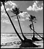
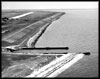
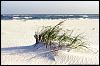
Beaches. Shots of different beaches throughout the state. (5 photographs)
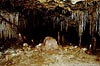
Caverns. Photographs of caverns in Florida. (20 photographs)
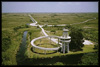
Everglades. Photographs of various parts of the Florida Everglades, including islands, ranger stations, and trails. (13 photographs)
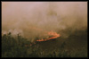
Forest Fires. Photographs of forest fires in Florida. (6 photographs)
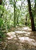
Fort Caroline Nature Trail. Photos of the nature trail, which is located ten miles east of Jacksonville. (22 photographs)
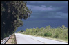
Fort Clinch State Park. Views of the park along a nature trail and various roads. (8 photographs)
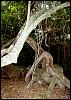
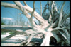
Hammock. Photographic examples of hammocks, which are tracts of forested land that rise above an adjacent marsh. (7 photographs)
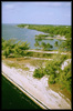
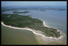
Islands. Photographs of a number of the islands located in Florida, including Little Duck Key, Long Key, Marco Island, and others. (12 photographs)
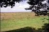
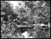
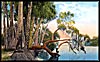
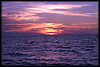
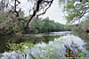
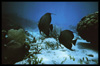
Lakes. Photographs of Lake Okeechobee. (2 photographs) Lovers Key. Photographs from this park, which consists of Lovers Key, Inner Key, Long Key, and Black Island. (16 photographs) Paynes Prairie. Paynes Prairie is a large basin south of Gainesville covered by marsh and wet prairie vegetation. (6 photographs) Rivers and Creeks (Misc.). Photographs of rivers and creeks in Florida. (8 photographs) Santa Rosa Island. Views of the nature trail and beach. (13 photographs) St. Johns River. Postcard views of the St. Johns River. (13 postcards) Sunsets. Views of Florida sunsets. (6 photographs) Suwanee River. The Suwannee River is part of the Florida State park system. During the 1800s, Confederate forces protected the river and built bridges over it in order to transport supplies to the south. (6 photographs) Underwater. Photographs taken underwater, showing coral reefs and some of the wildlife that lives among them. (24 photographs) Weather. Examples of different weather conditions found in Florida, including hurricane conditions and toronadoes. (6 photographs)
| Home > Photos > Environment |
Exploring
Florida: A Social Studies Resource for Students and Teachers
Produced by the Florida Center for Instructional
Technology,
College of Education, University of South Florida © 2004.