| Home > Maps > Orange County > 1900 Map | |

|
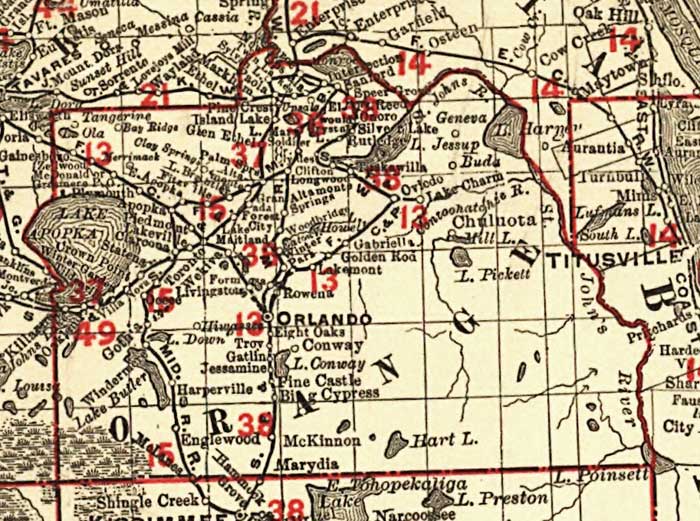
Orange
County as shown on a 1900 Rand-McNally indexed county and township pocket
map and shippers guide of Florida showing all railroads, cities, towns,
villages, post offices, lakes, and rivers. The entire railroad network
is shown in red and coded by number to a list.
|
| Home > Maps > Orange County > 1900 Map |
Exploring
Florida: A Social Studies Resource for Students and Teachers
Produced by the Florida Center for Instructional
Technology,
College of Education, University of South Florida © 2002.